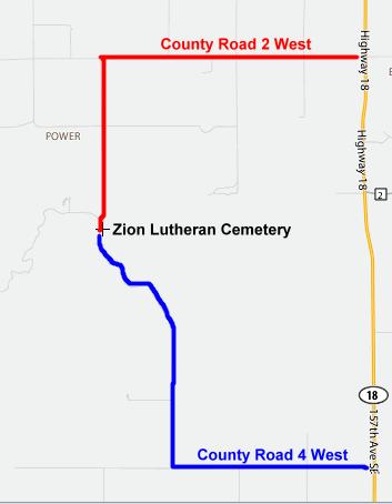
Directions To: Zion Lutheran Cemetery
 In
Google Earth,
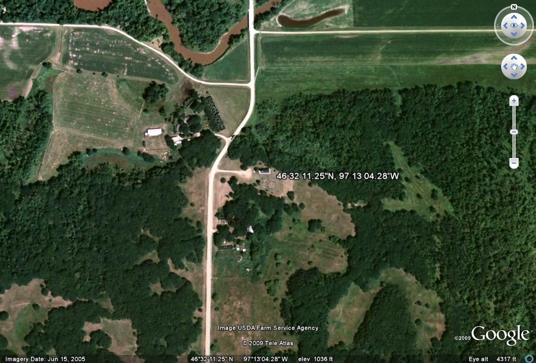
Fly to: 46
32 11.25"N, 97 13 04.28"W
In
Google Earth,
Fly to: 46
32 11.25"N, 97 13 04.28"W
From the intersection of Highway 46 and 18 South (near the West Prairie Church), go South on Highway 18 four miles. Then turn West on County Road 2 and go West four miles (the last two miles are gravel). Then turn South and go South a little over two miles (this road is also gravel; Zion Lutheran Cemetery is about a half mile South of the Sheyenne River near the top of a hill).
If coming from the South, turn West at the intersection of Highway 18 and County Road 4 West (note: County Road 4 West is a mile further North than County Road 4 East). Then go West three miles on County Road 4 (this is a gravel road). Then turn North and go North a little over three miles (this road is also gravel and there are several curves in the last mile; you will see a RV park about half a mile before Zion Lutheran Cemetery).